

PRODUCTS
LAND SURVEY
GNSS SYSTEMS
SCANNING & MAPPING
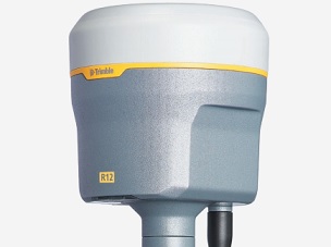
Trimble R12
ProPoint GNSS Engine Technology
More than 30% better performance in challenging environments
- ProPoint GNSS Technology
- Trimble 360 Technology
- Trimble xFill Technology
-Trimble SurePoint
- CenterPoint RTX Corrections
- 8mm H / 15mm V
- 672 GNSS Channels
- Android & iOS
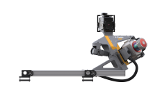
Trimble MX9
Mobile mapping solution for large scale missions
- Very high point cloud density and immersive imagery
- State of the art Trimble GNSS and Inertial technology
- Dual and single laser configuration available to match customer needs
- Lightest and most compact premium mobile mapping system
- Simple installation and browser based operation from a smart device
- Data processing in Trimble Business Center (TBC)
- Trimble MX software for feature extraction and data publishing
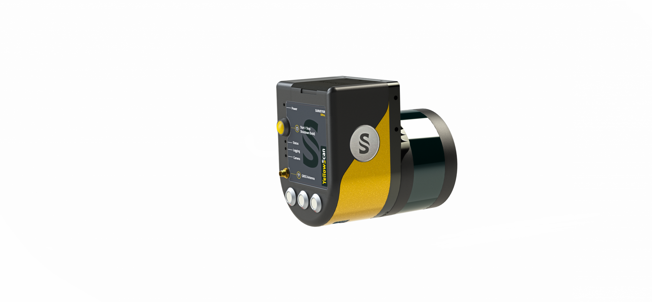
Yellowscan Surveyor
Velodyne VLP-16-based UAV LiDAR system
Technologies inside
- Velodyne VLP-16 Puck Laser Scanner
- Applanix APX-15 IMU
- High-performance GNSS antenna
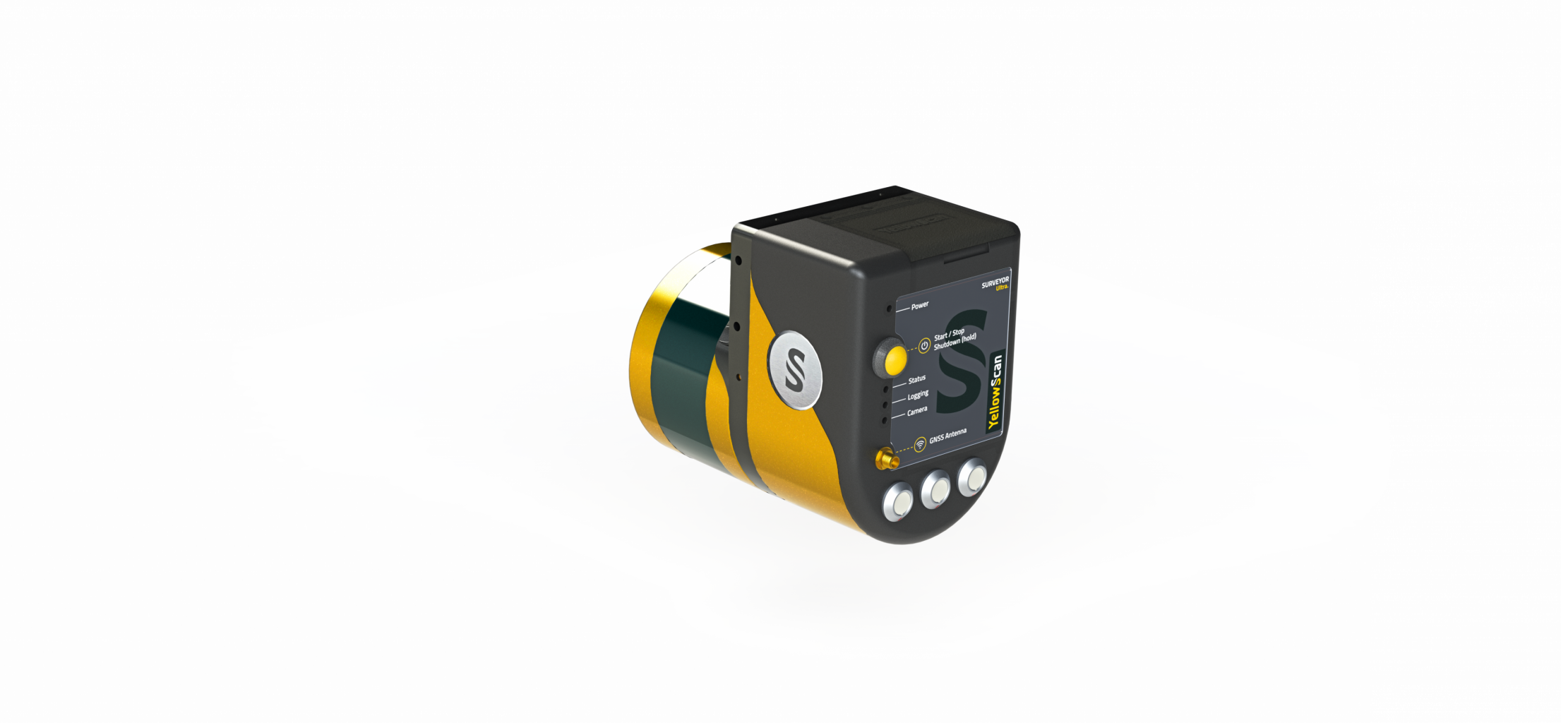
Yellowscan Surveyor Ultra
Velodyne VLP-32-based UAV LiDAR system
Technologies inside
- Velodyne VLP-32 Ultra Puck Laser Scanner
- Applanix APX-15 IMU
- High-performance GNSS antenna
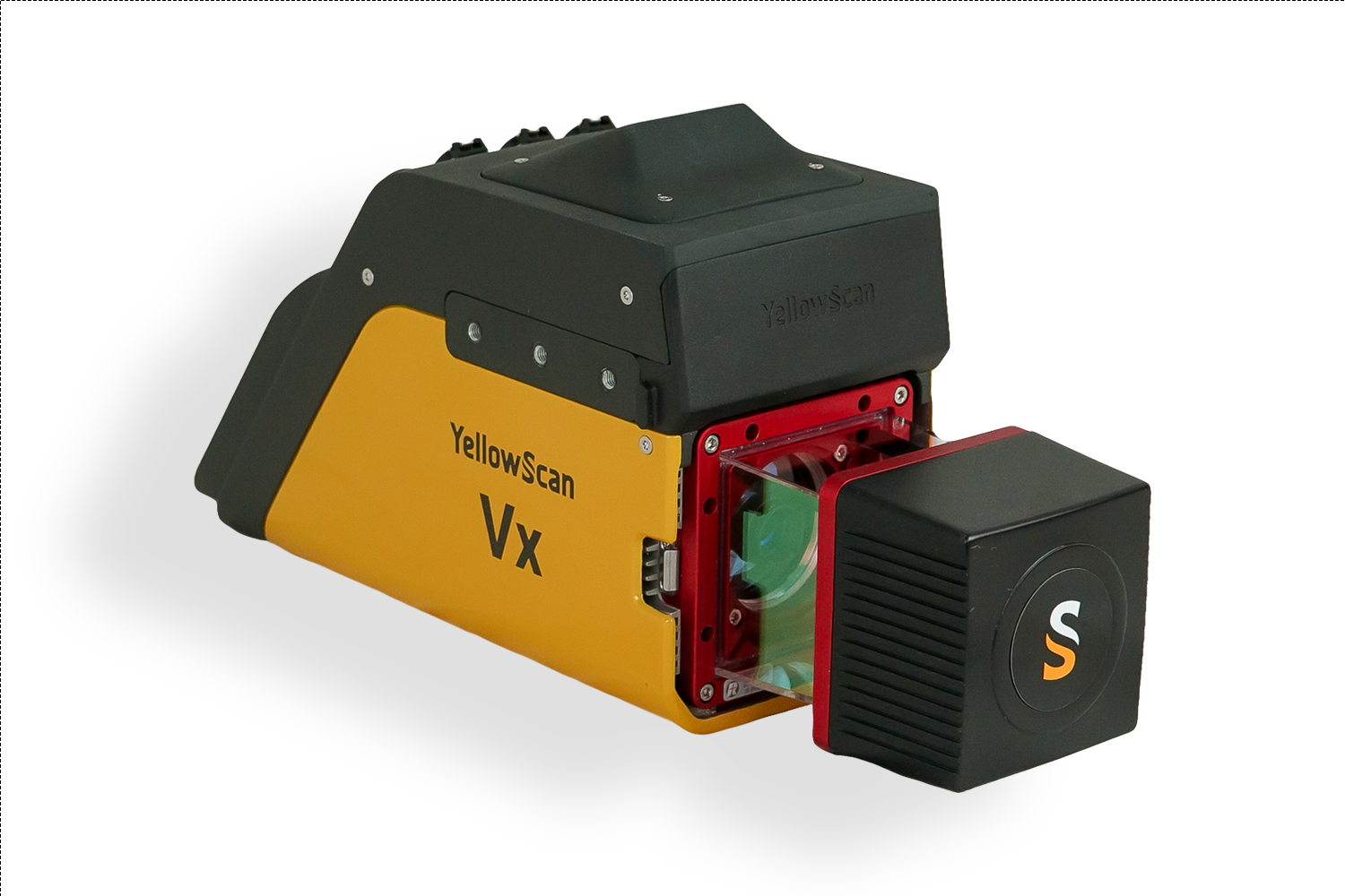
Yellowscan VX15
Having a longer range and more accurate system
Vx15-100
- Scanner: RIEGL miniVUX-1UAV
- Laser pulse: 100kHz
Vx15-200
- Scanner: RIEGL miniVUX-2UAV
- Laser pulse: 100kHz / 200kHz
Vx15-300
- Scanner: RIEGL miniVUX-3UAV
- Laser pulse: 100kHz / 200kHz / 300kHz
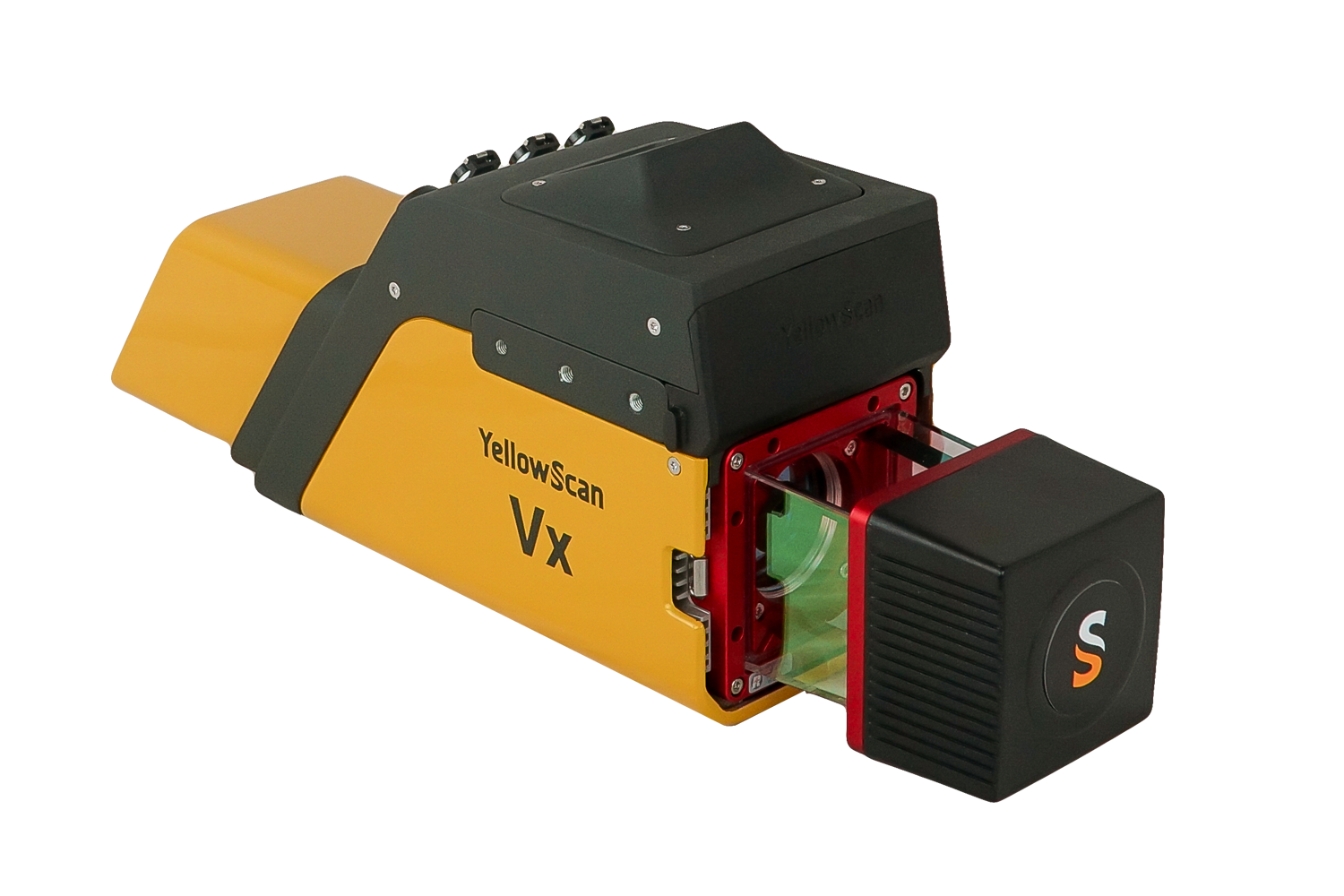
Yellowscan VX20
Having a longer range and more accurate system
Vx20-100
- Scanner: RIEGL miniVUX-1UAV
- Laser pulse: 100kHz
Vx20-200
- Scanner: RIEGL miniVUX-2UAV
- Laser pulse: 100kHz / 200kHz
Vx20-300
- Scanner: RIEGL miniVUX-3UAV
- Laser pulse: 100kHz / 200kHz / 300kHz