

PRODUCTS
Why ?
- Lightweight and low power consumption. Can be installed on all kinds of UAVs and vehicles.
- Precision positioning using high end GNSS and IMU coupled system
- Robust and reliable
- High frequency laser scanner allowing good productivity without compromising on point density
- Multi-scope Mobile (Ground) and UAV (airborne) Mapping Systems.
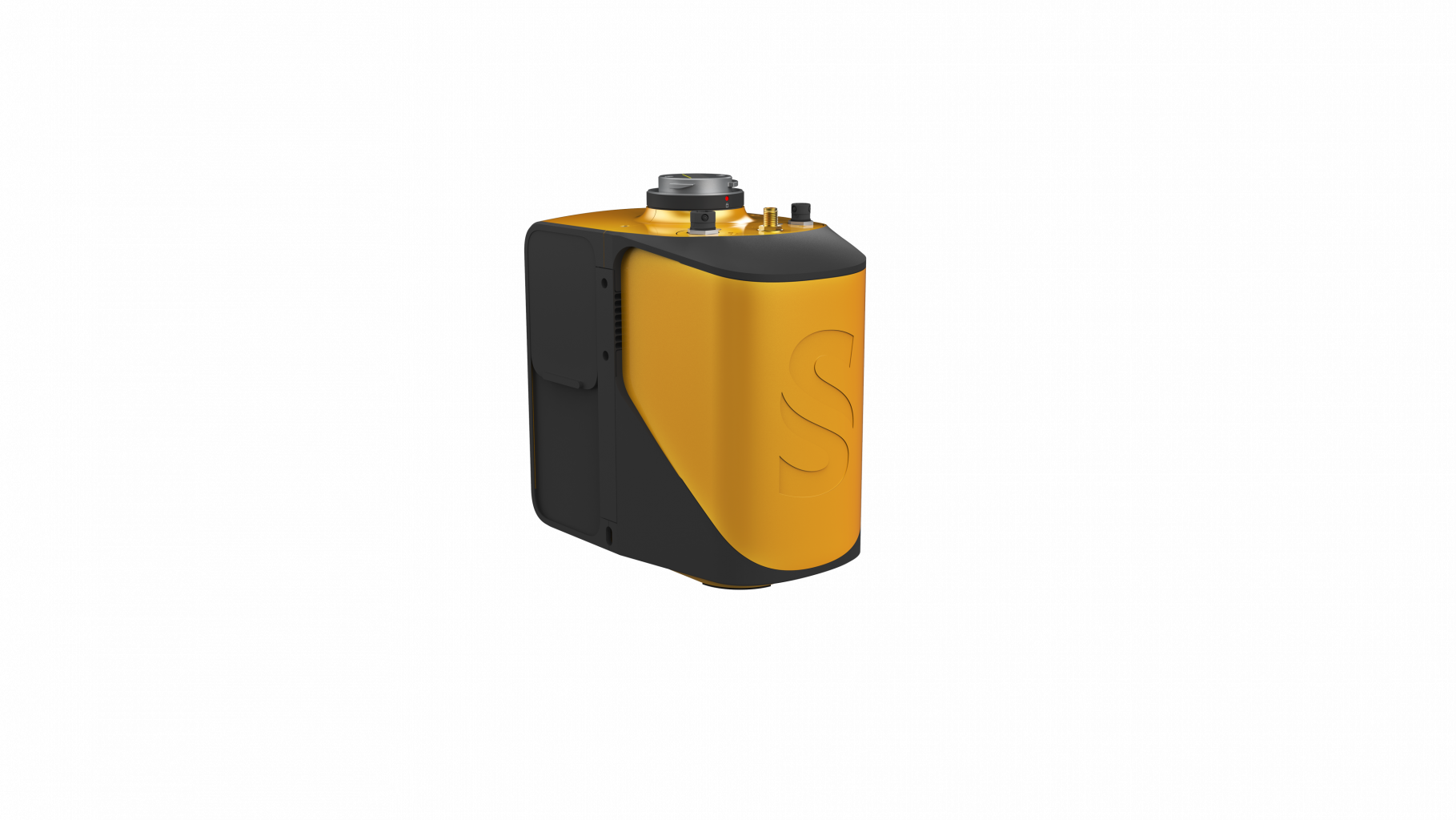
- Livox Horizon Laser Scanner
- Applanix APX-15 IMU
- High-performance GNSS antenna
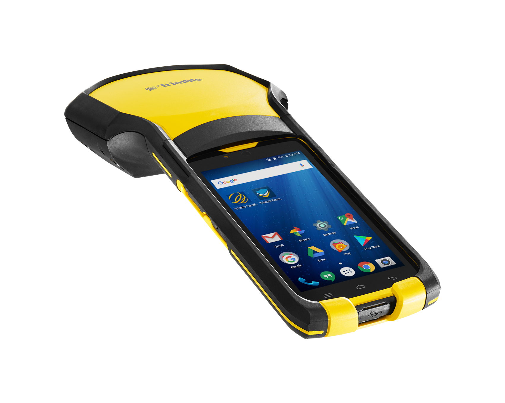
The Trimble® TDC150 GNSS handheld receiver is built for GIS users who demand maximum productivity and positioning accuracy out on the job. Offering a fully integrated, ultra-rugged solution that has the flexibility of a handheld, an intuitive Android-based user interface, and scalable high accuracy positioning, the high-performing TDC150 is your productive partner in the field.
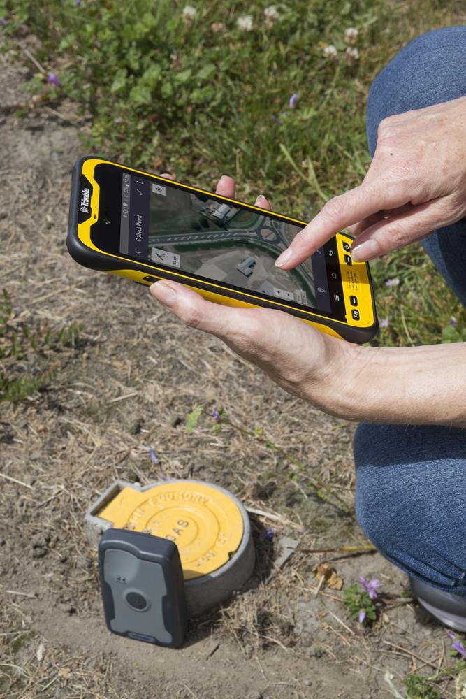
The Trimble® TDC600 handheld is a sleek, all-in-one rugged smartphone with a built-in professional GNSS receiver. Designed for ease-of-use in a wide range of GIS and survey applications, the TDC600 helps you collect and retrieve highly accurate spatial information while staying in touch with the office—all with a single device. It’s the smart, productive way to collect data and communicate from the field.
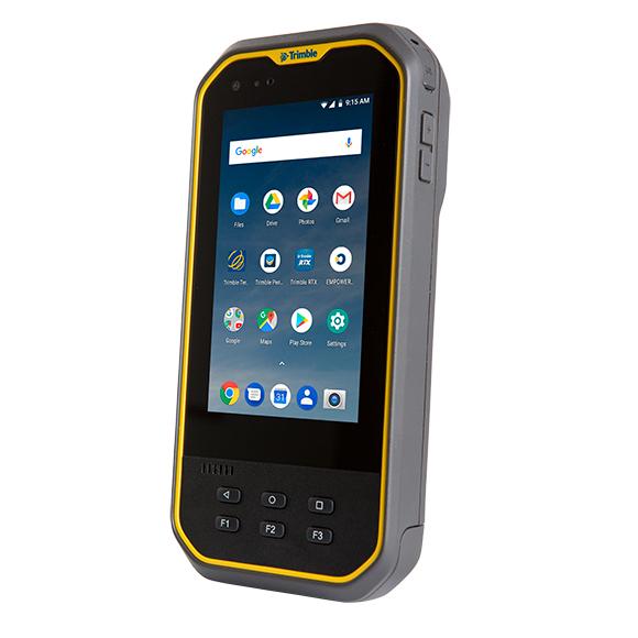
The Trimble® Nomad® 5 handheld is a fully-rugged mobile computer designed to make your professional work life easier, productive and more efficient. Offering ease-of-use and flexibility in an all-in-one versatile package, it’s the ideal tool for accurate GIS data collection, asset management and field inspection tasks. Purpose-built for the serious field worker, you can depend on the Nomad 5 to help you get your work done.
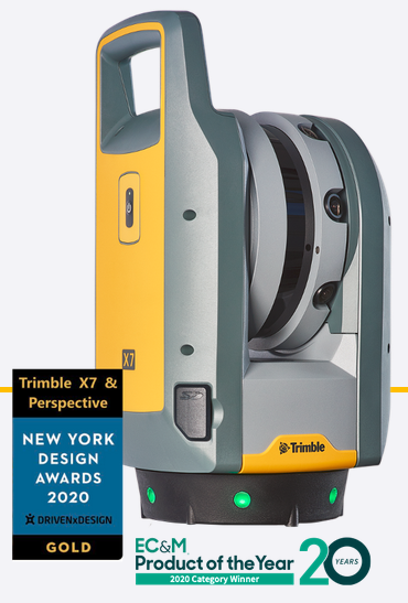
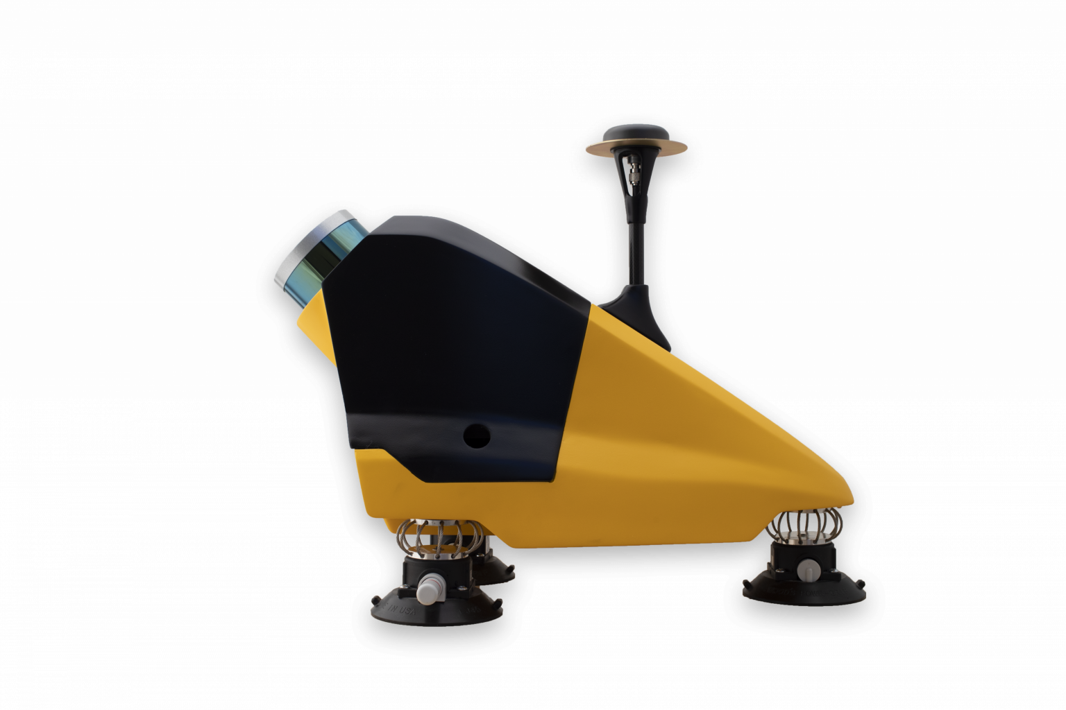
High-speed 3D laser scanning system with advanced technologies to simplify adoption, increase efficiency and provide confidence in the field powered by Trimble Perspective.
Automatic Calibration: Complete confidence in every scan with the industry's first smart calibration system. No targets or user interaction required. On-Demand calibration reports
Self-leveling: Automatic survey grade level compensation
Trimble Registration Assist: Increase your field productivity with the industry's most comprehensive automatic registration
Laser Pointer: Provide visual confirmation of individual points to be measured by Trimble Perspective
Georeferencing: Link registered scans to a project coordinate system in Trimble Perspective