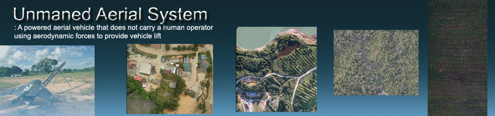
Aerial & Scanning Services
Aerial Photogrammetry with the Trimble UX-5
Now, everyone will be able to obtain an aerial photo of their respective sites within minutes. An high quality orthomosaic will be able to aid owners to identify area of interest with precision and accuracy.
The Trimble UX-5, an aerial imaging rover that produces a survey grade accuracy. Ground Control Points could also be added if there is a need for higher accuracy. Deliverables are as seen below:
- Orthomosaic
- DEM
- DTM
- DSM
- 3D Point Cloud
- Comprehensive Report
Depending on the size of the area of interest, we will be able to deliver complete results within 1 week after the flight. Please contact us for more details and pricing.
3D Laser Scanning with the Faro Focus 3D
A quick and complete solution that provides owners with a complete insight of their building structure or any point of interest. Surveyors will now be able to superimpose the point cloud data with real camera images, all done by the Faro Focus. Deliverables are as seen below.
- Coloured 3D Point Cloud
- 3D Point Cloud
- AutoCad DWG file
- Comprehensive Report
Depending on the size of the area of interest, we will be able to deliver complete results within 2-3 weeks. Please contact us for more details and pricing.