

PRODUCTS
SOFTWARES
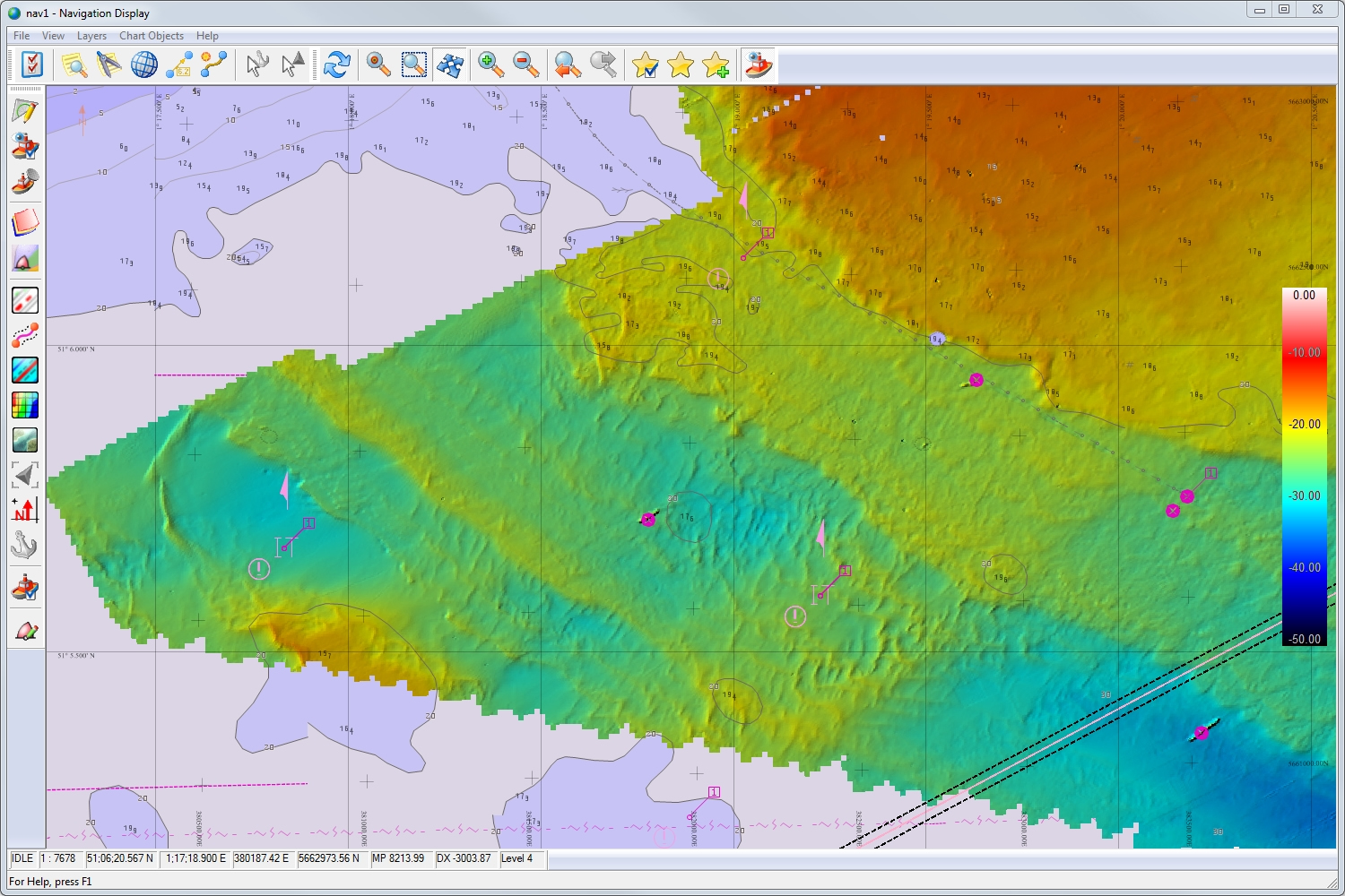
QINSy
Quality Integrated Navigation System
QINSy is an integrated navigation system software package used extensively worldwide for acquiring and processing multibeam data.
The primary philosophy behind QINSy is to save time in processing, and the possible need for re-survey, by providing tools for real-time qualification of the raw data and on-the-fly correcting for offsets, motion, sound velocity refraction and height, to produce “final” xyz soundings as the survey proceeds.